McMahon Line · Aerial Photography

From a Chopper, Shiv Kunal Verma
Photographs the McMahon Line
for the First Time

"A soldier can spend two and a half years at a post and never get a clear view of the immediate ranges in his vicinity."

— Shiv Kunal Verma

The Photo Essay
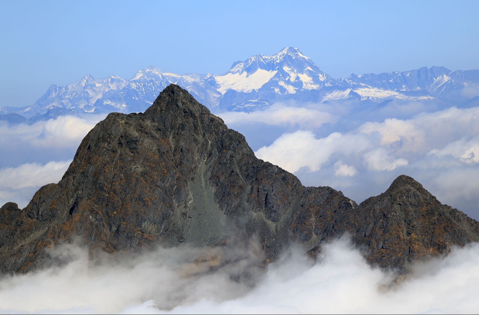
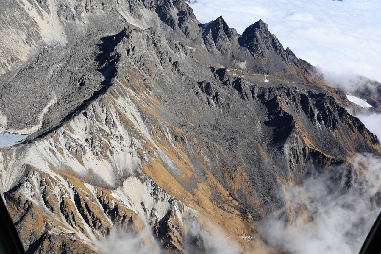
McMahon Line — aerial photograph
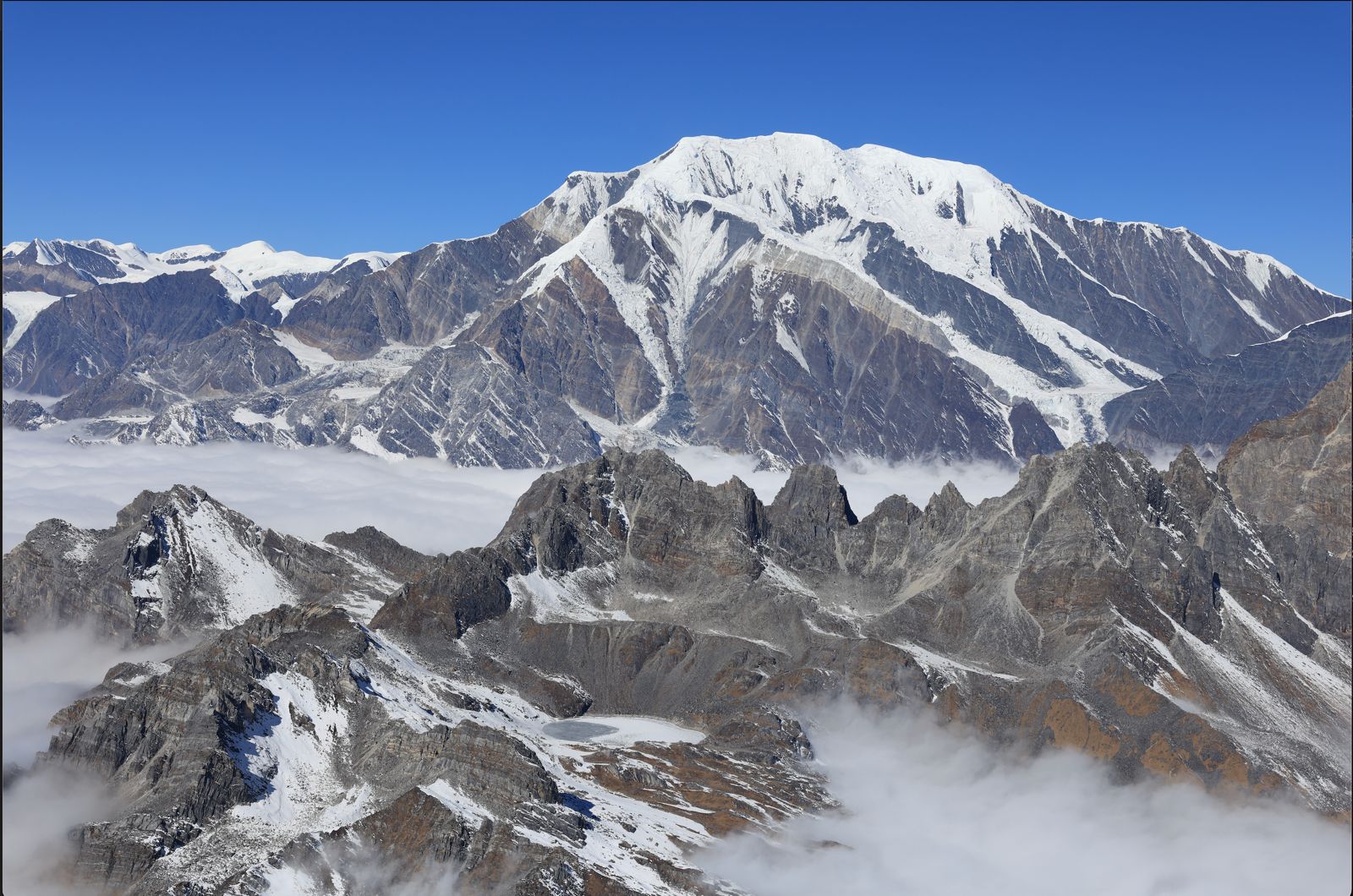
This is what the roof of the world looks like. I dont think anyone has seen what it looks like before for in the last few million years this was always under a blanket of white.
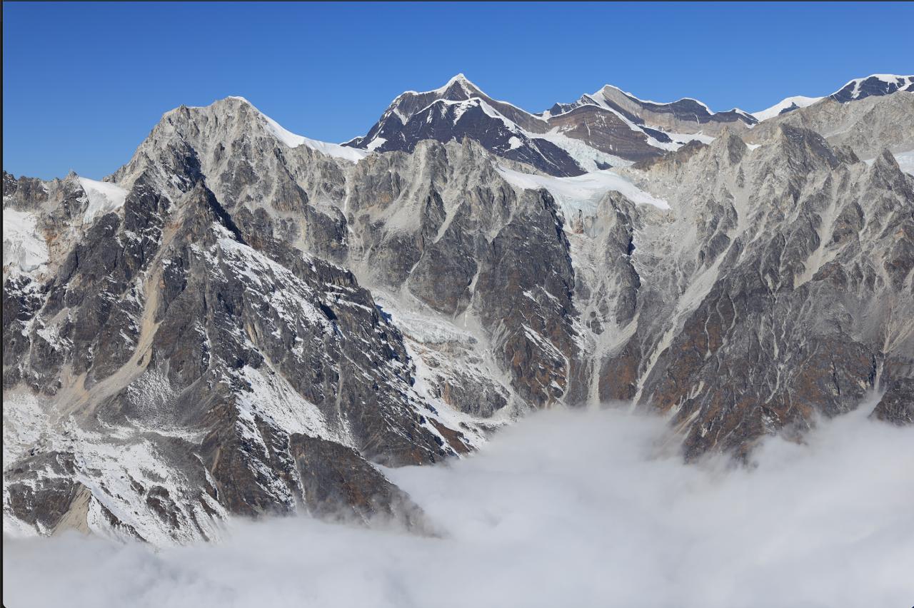
McMahon Line — aerial photograph
Gori Chen" feature with the Gorichen Peak that is 21,286 ft (6488 m), a sacred mountain in the Eastern Himalayas, revered by the local Monpa tribe as a "Kingdom of Deity" (Sa-Nga-Phu).
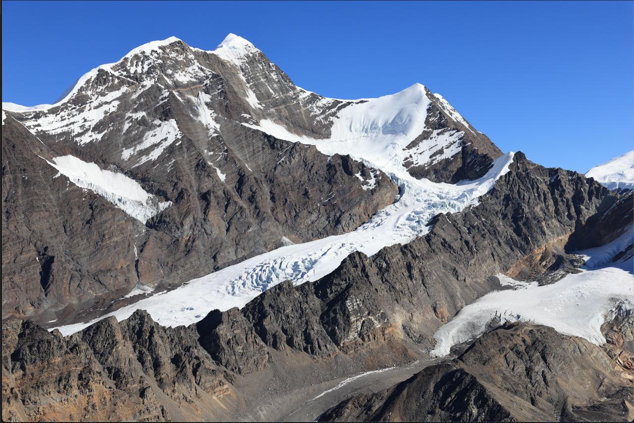
McMahon Line — aerial photograph
The Gori Chen glacier.
McMahon Line — aerial photograph
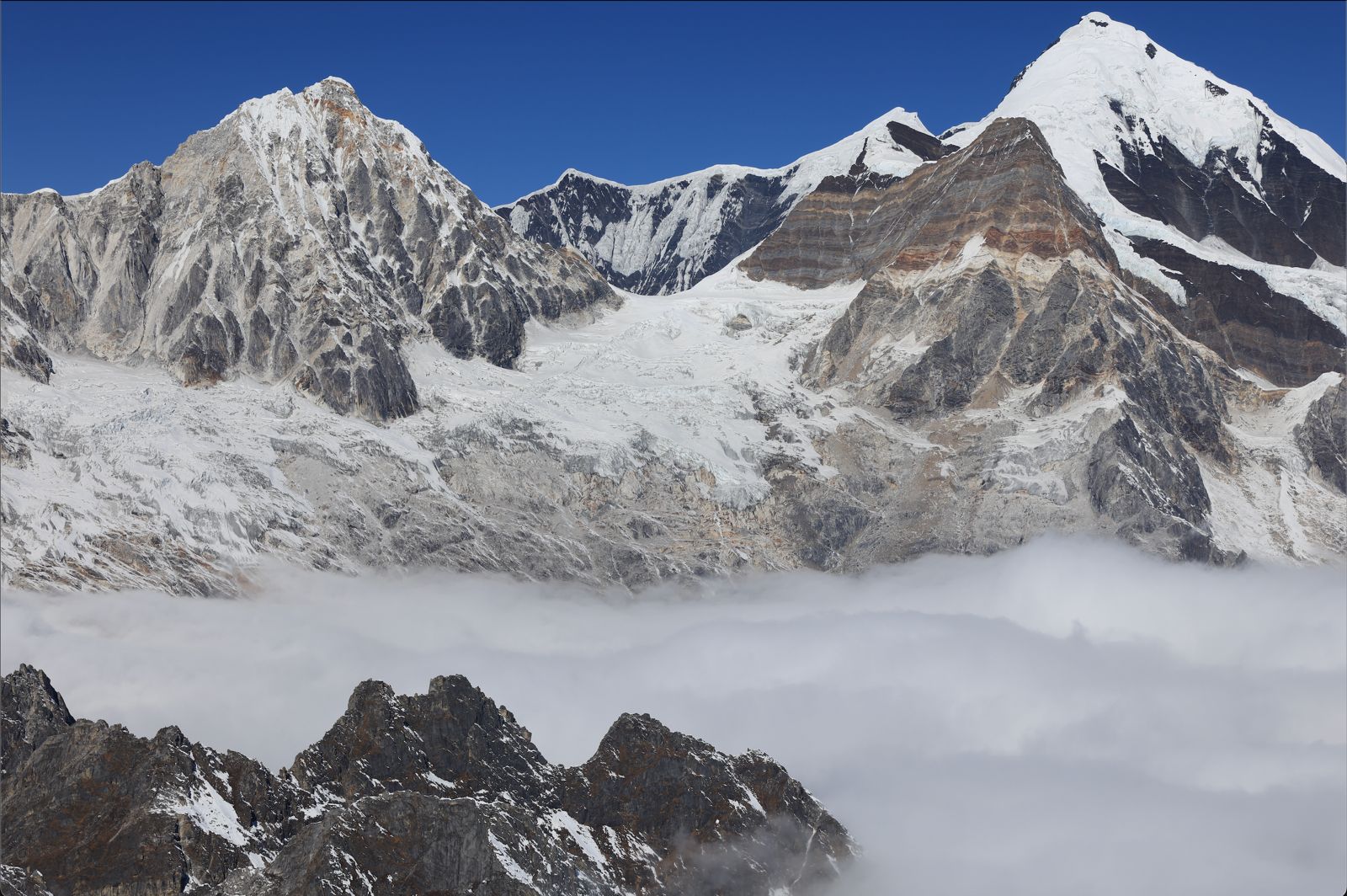
The eastern flank of the Gori Chen glacier, Kangto in the background.
McMahon Line — aerial photograph
Kangto I… at 23,261 ft (7090 m) is the highest mountain in Arunachal. Kangto II is at 6953m… and the McMahon Line was drawn passing on the crest of these peaks.
McMahon Line — aerial photograph
Chomo and Nyegyi Kangtsang (also called the Nyegyi Kangto) stand at 6878 m and 6953 m respectively and are the eastern edge of the combined massif.
McMahon Line — aerial photograph
The Dacha Bum peak (4578 m - 15,020 ft) with the snow capped area beyond Hayluiang visible in the background. The Namdapha River originates from here.
McMahon Line — aerial photograph
Shooting Gori Chen… 22,000 ft, as close to god as you can get!
McMahon Line — aerial photograph
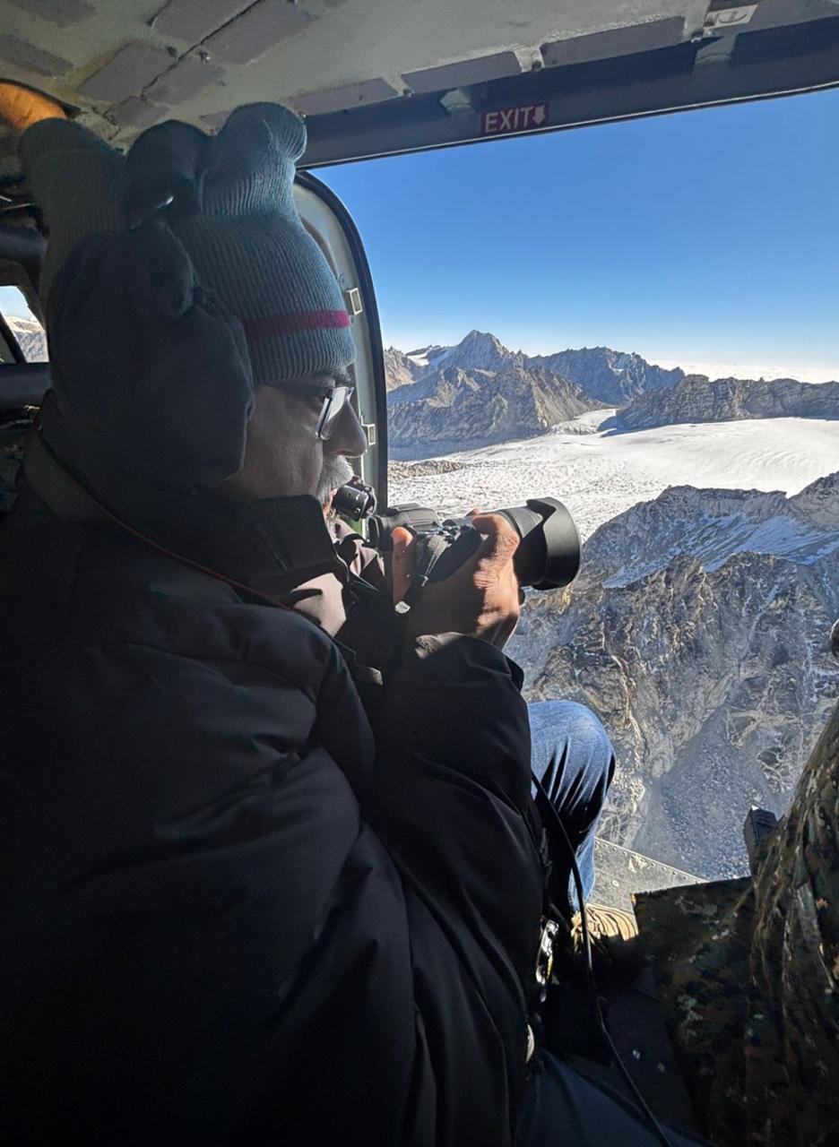
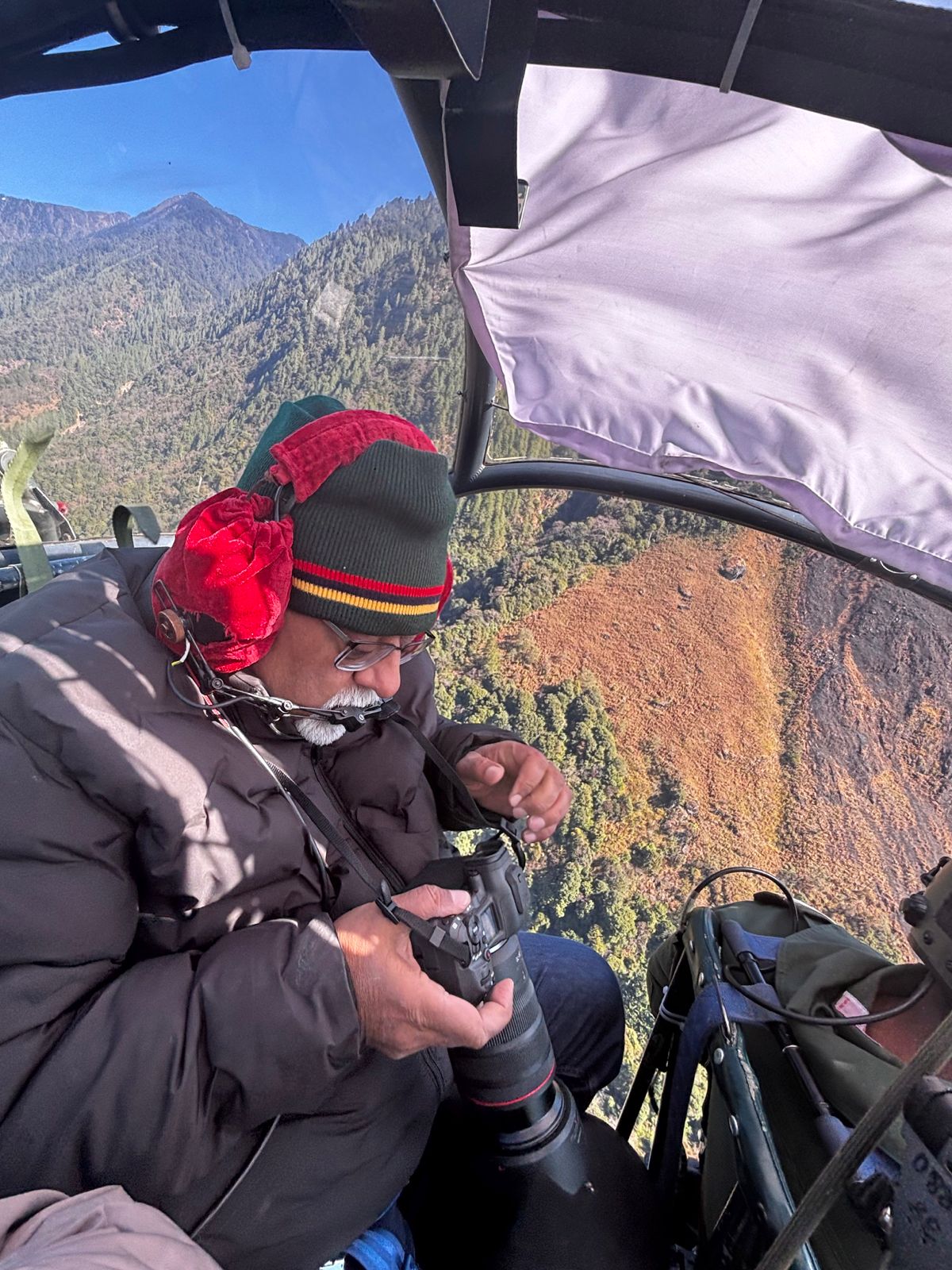
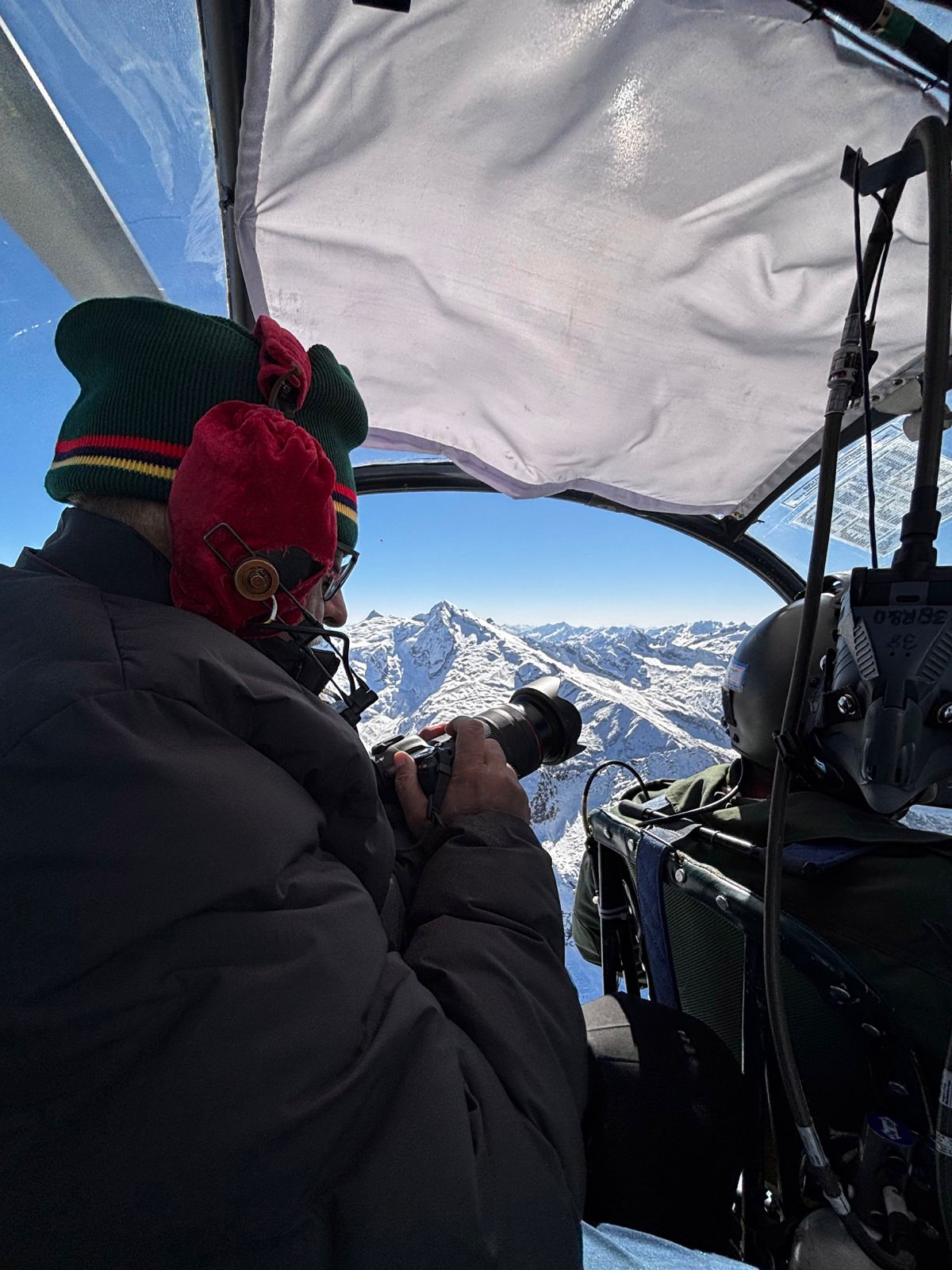
Flying with open doors in temperatures around the minus 32 to 40, and with head winds in valleys around 80 knots, it was quite a task.
McMahon Line — aerial photograph
Shiv Kunal Verma on the chopper.
McMahon Line — aerial photograph
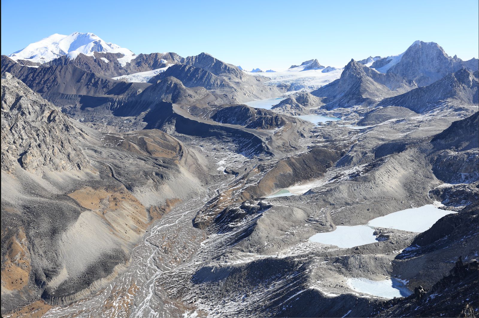
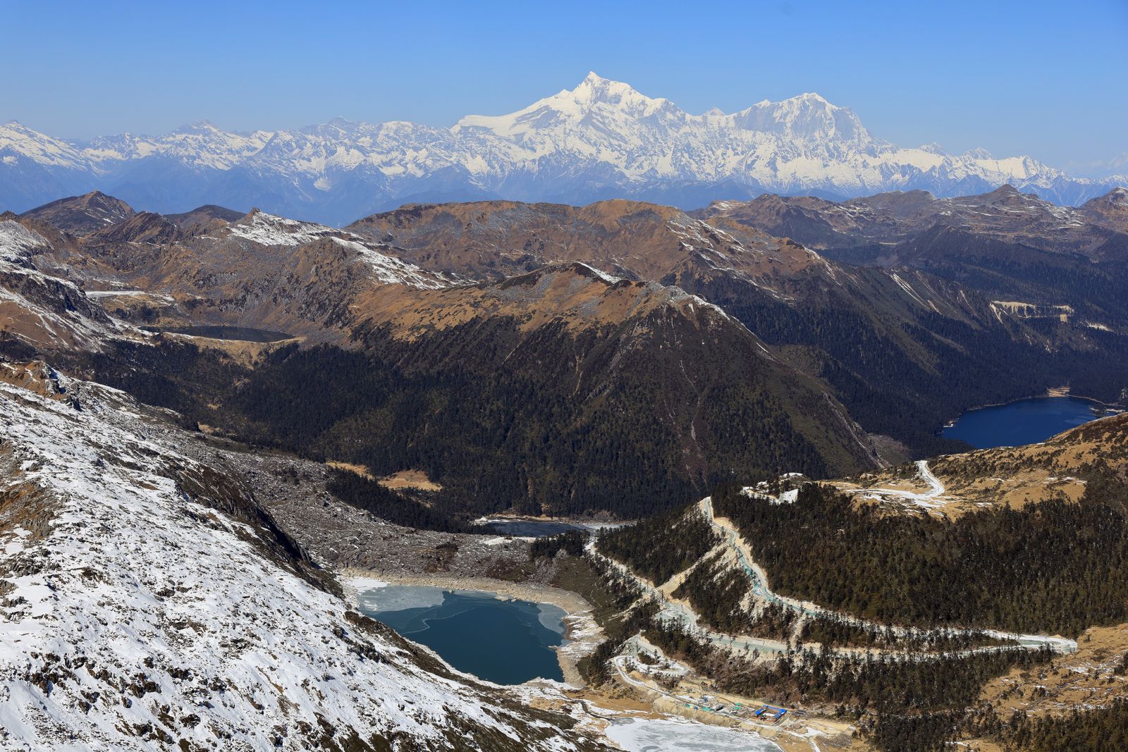
Across the LAC, Namcha Barwa (25,531 ft / 7,782 m) dominated the horizon, 36 nautical miles from where we were flying. From that height, three of the seven lakes on the Chinese side came into view.
McMahon Line — aerial photograph
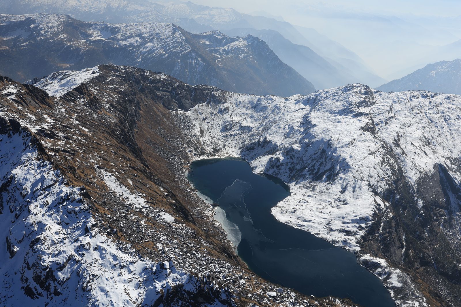
Lake near Zikyen La.
McMahon Line — aerial photograph
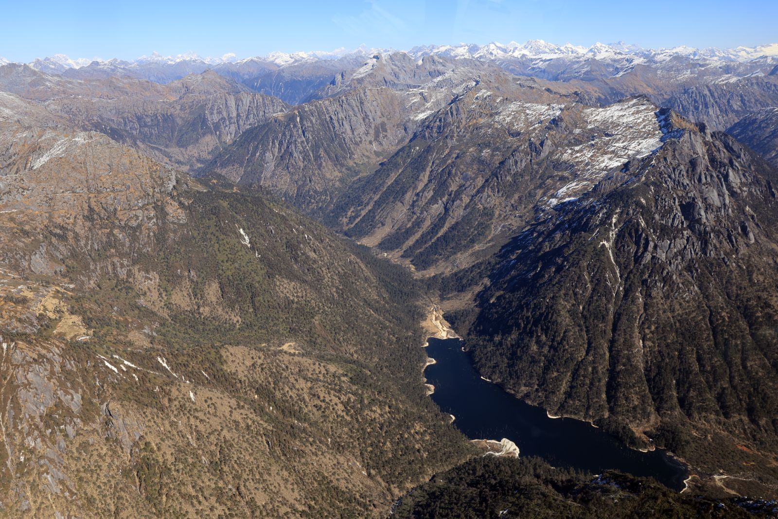
Lake on Chinese side.