Geography
The First Frontier
The land defines who we are and what we must defend.
Why it matters
Our geography is both gift and warning. From the glaciers of Siachen to the deltas of the Sundarbans, the land defines who we are and what we must defend. Yet we have allowed geography (once the foundation of statecraft) to fade from public consciousness. Fortress India begins when we treat the land as a living teacher, not as real estate, but as responsibility.
The McMahon Line itself has acquired an almost mythical status over the decades, often reduced in public discourse to a contested line drawn upon a map.
What this looks like
Siachen
The world's highest battlefield.
On the Siachen Glacier, terrain itself is the adversary: altitude, cold, and ice test endurance before any opponent does. To hold it is to understand that the map is not an abstraction, but a place people defend with their lives.
The Sundarbans
Where the land dissolves into the sea.
In the Sundarbans, the coastline shifts with every tide and storm, and the border is written in water as much as in soil. A frontier this fluid can only be secured by people who know it intimately.
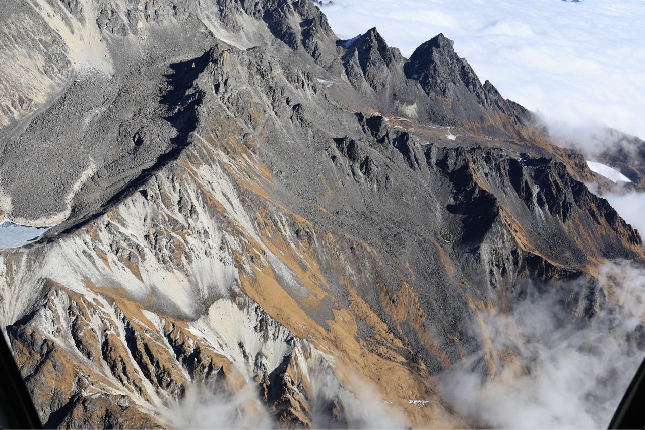
The McMahon Line
A line on the map, a question on the ground.
The McMahon Line traces India's north-eastern frontier through some of the least-known terrain in the country. Understanding how it was drawn, and why it is still contested, is a lesson in why geography must return to public memory.
Read moreWhat we’re doing
- Bringing maps and terrain back into the story of India, so the land is understood as a living teacher.
- Documenting frontier regions (their landscapes, peoples, and geopolitics) for schools and libraries.
- Working with educators to restore geography to the heart of the curriculum.
What you can do
- Teachers can bring maps and military history into classrooms.
- Communities can restore degraded land and protect rivers.
- Institutions can rebuild trust through transparency and competence.
- Citizens can demand foresight, not fire-fighting, from leadership.