For more than a century, the McMahon Line has been studied through maps, patrol reports, diplomatic correspondence and military history. Yet the landscape itself has remained surprisingly elusive. While individual sectors have occasionally been photographed, no sustained attempt had been made to document the frontier continuously from the Indo-Bhutan-Tibet Trijunction in the west to the Indo-Myanmar-Tibet Trijunction in the east.
The photographs that follow are not intended to advance an argument. They simply allow the mountains to speak for themselves.
Taken during a series of dedicated helicopter sorties across the Assam Himalaya, they reveal the frontier as it actually exists: a succession of watersheds, glaciers, rivers, forests and remote valleys whose geography long predates the political boundary that now follows them. They also provide a rare aerial perspective of one of the least accessible mountain systems on Earth, where every major river of Arunachal Pradesh begins its journey towards the Brahmaputra.
Perhaps the greatest surprise lies elsewhere. Viewed together, these landscapes reveal subtle but recurring patterns in the distribution of snow and ice that invite closer scientific attention. Whether they represent seasonal variation or part of a broader climatic transition, the photographs preserve a moment in time against which future generations may one day measure change.
Seen in sequence, these images become more than a photographic record. They are a visual journey along one of the world’s least seen frontiers, where geography, ecology and history continue to shape one another in ways that no map can fully convey.
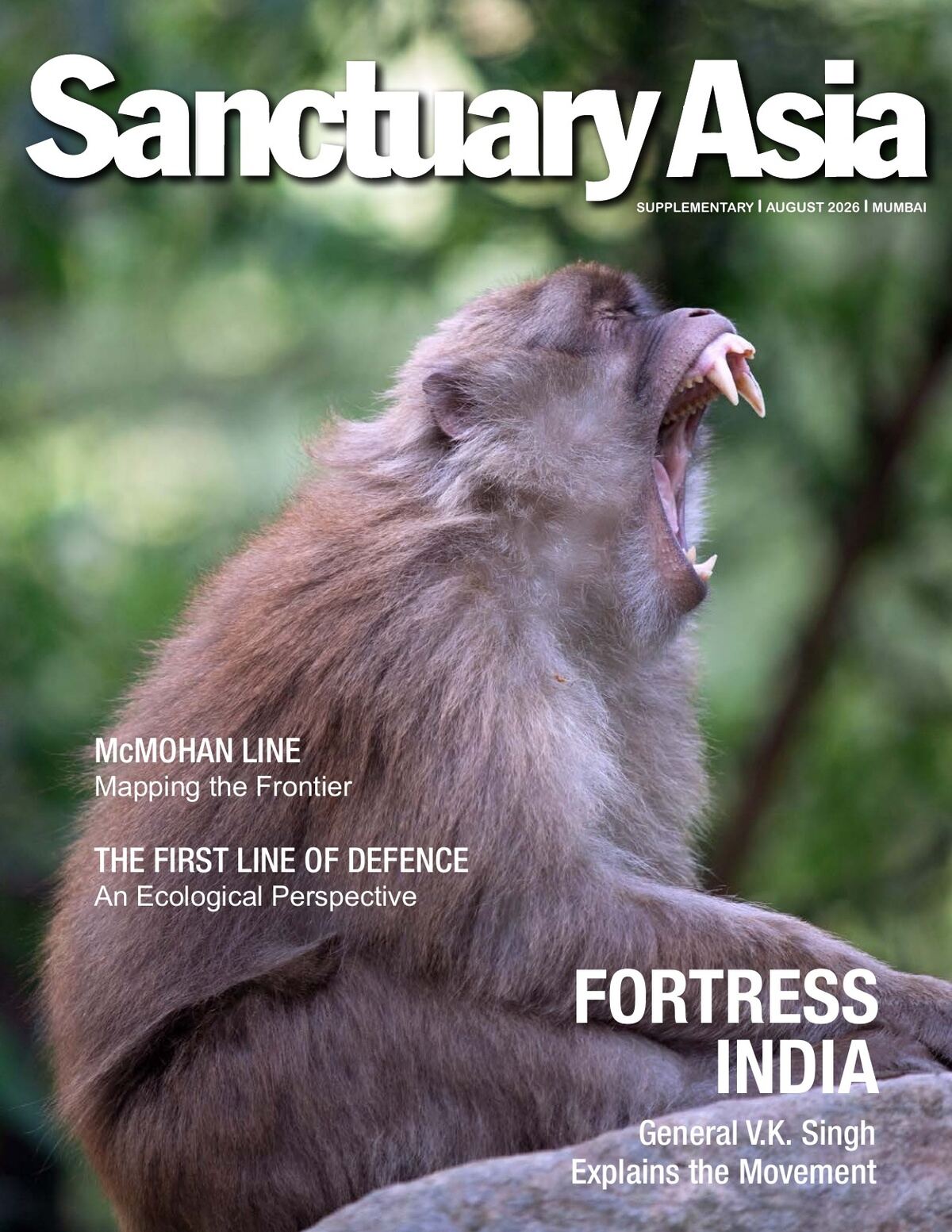
Photographs by Shiv Kunal Verma. The plates run across pages 11 to 20 of the issue and are best seen in the page viewer below.

Discussion
Thoughts on the issue, the frontier, or the movement? Leave a comment below.
No comments yet. Be the first.
Loading comments…